Also, check out my Boston and New England videos on YouTube: Exploring New England.

Previous Image

|

Next Image
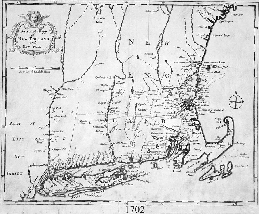
1702 Map of New England and New York Digital Art by Toby McGuire

Similar Images

1872 Rochester New York Historical Map Monroe County by Toby McGuire
1835 Map of Connecticut and Long Island Sound Historical Map by Toby McGuire
1880 Map of the Adirondacks Railroad Upstate New York Black and White by Toby McGuire
1906 Map of Brooklyn NY New York in Color by Toby McGuire
1906 Map of Brooklyn NY New York in Sepia by Toby McGuire
1863 New England and New York Map by Toby McGuire
1863 New England and New York Map Black and White by Toby McGuire
1863 New England and New York Map Sepia by Toby McGuire
1877 New York State Railroad Map Sepia by Toby McGuire
1877 New York State Railroad Map Black and White by Toby McGuire
1906 Map of Brooklyn NY New York in Black and White by Toby McGuire
Brooklyn NY 1868 Map New York NY Color by Toby McGuire
Brooklyn NY 1868 Map New York NY Black and White by Toby McGuire
Brooklyn NY 1868 Map New York NY Sepia by Toby McGuire
1880 Map of the Adirondacks Railroad Upstate New York by Toby McGuire
1880 Map of the Adirondacks Railroad Upstate New York Sepia by Toby McGuire
1879 Adirondacks Wilderness Map Upstate New York by Toby McGuire
1879 Adirondacks Wilderness Map Upstate New York Black and White by Toby McGuire
1879 Adirondacks Wilderness Map Upstate New York Sepia by Toby McGuire

Comments (1)

Robert Bales

Robert Bales

So interesting and very nicely done!! v/f/t

Recently Viewed

1702 Map of New England and New York by Toby McGuire
Previous Image Next Image